Share Article
Summary
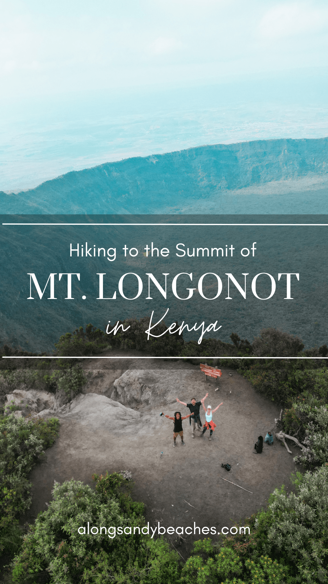
Mount Longonot is a magnificent stratovolcano located near lake Naivasha in Kenya. It gets its name from the Maasai term “Oloonong’ot,” which translates to “mountains of many spurs” or “steep ridges.” Rising about 2,776 meters above sea level, this inactive volcano showcases a stunning crater with lush vegetation and offers beautiful tracks to explore.
We decided to do the hike to Mount Longonot as a day trip during our stay at lake Naivasha. The hike to the summit takes you through diverse landscapes, including forests and rocky terrains, providing breathtaking panoramic views of the Greta Rift Valley and lake Naivasha. Remember to prepare adequately, bring essential supplies, and adhere to safety guidelines for a memorable and rewarding hiking experience.
Chapters
Key Facts
COUNTRY
Kenya, Africa
EXPERIENCE
Hiking
Park Fee
26 USD / person
Save on Pinterest to read it later.
How to get to Mount Longonot?
Mount Longonot is situated in the Great Rift Valley, approximately 60 kilometers northwest of Nairobi and 20 kilometers from Naivasha. As there are so many other cool things to do at lake Naivasha we recommend to stay there for several days and start your journey to Longonot from a town nearby.
The most common starting point for the hike is the Longonot Gate, which is accessible by road. From Naivasha, you can hire a taxi or boda-boda (motorcycle taxi) to take you to the entrance. Alternatively, if you’re driving, you can follow the Nairobi-Nakuru.
Once you arrive at Longonot Gate, you will register at the Kenya Wildlife Service (KWS) office and pay the park fees. The entrance fee we have paid was 26 USD per person, but the fees may vary depending on the season and year of your visit. We recommend to check the current pricing on the KWS website.
Also make sure to plan enough time for your hike. Just hiking to the rim and back takes about 2-3 hours depending on your pace. In case you want to circle the rim, you should plan with 5-7 hours. The gate usually closes shortly before sunset, typically between 6 and 6:30 p.m. Depending on your pace you can adjust your hike along the way.
TIP: Google Maps has two pins for Mount Longonot National Park. And as you guessed correctly, only one of them gets you to the gate. The right pin to follow is called “Mt Longonot National Park”.
How to best hike Mount Longonot?
The hike to the crater rim of Mount Longonot is a thrilling journey that typically takes around 1 to 1.5 hours, depending on your pace and fitness level.
For proper planning, we have documented our hike to the crater rim, mountain peak and around the crater.
The trail gradually ascends, offering picturesque views of the surrounding landscape along the way. But that also means that it gets gradually steeper and harder to hike. Some parts of the trail have been washed out from water, making it difficult to climb. Hence, make sure you wear proper shoes.
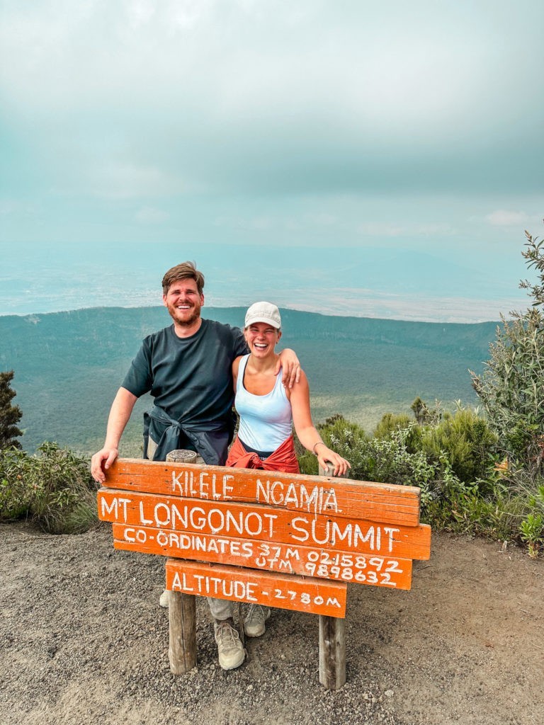
Once you reach the crater rim, you’ll be mesmerized by the vastness of the Great Rift Valley and a stunning panorama. When we arrived at the crater we had already made friends with some locals and a Brit climing the mountain, which made our journey even more joyful.
From the crater rim you have multiple options to proceed your hiking journey: Only hiking to the peak of Mount Longonot, circling the crater rim or directly return.
TIP: There are no shops along the way, so please ensure to bring enough water and some snacks with you. Additionally, one-way plastic bottles and bags are not allowed in the national park, so make sure to use reusable bottles and bags instead. You can also purchase reusable bottles at the gate, which are reasonably priced at just a few dollars.
Hike to the peak of Mount Longonot: To climb to the peak of Mount Longonot from the crater rim usually takes an additional 30 minutes to an hour, depending on your personal fitness, pace and the weather conditions. Make sure that it is not raining (the track can get very slippery) and you have sufficient time to hike the mountain, as the trail to the peak of Mount Longonot is partially narrow and extremely steep. Please keep in mind that both left and right sides have steep descents, and the trails are not properly secured. Hiking to the peak of Mount Longonot is the hardest part, but totally worth it though. It rewards you with a stunning 360-degree view that extends far beyond the crater, providing a picturesque scenery.
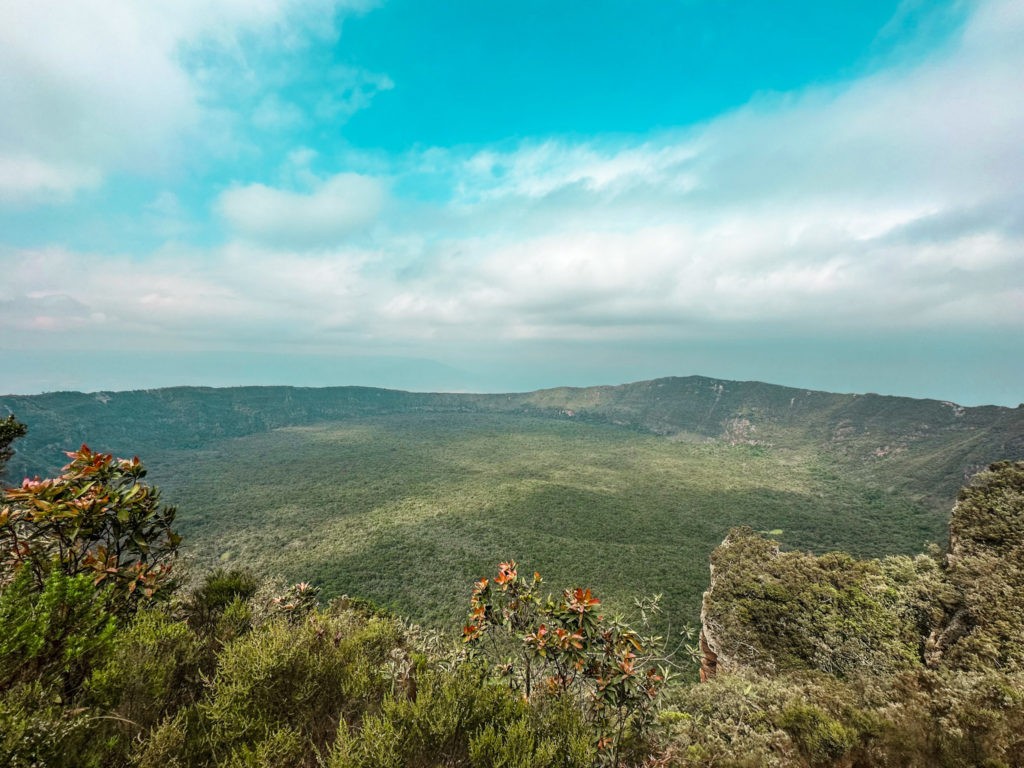
Circle the crater rim of Mount Longonot: After reaching the peak of Mount Longonot and enjoying the summit views, you have the option to circle the crater rim or to return. Keep in mind that circling will take you another 1.5 to 2 hours, but is really worth the hike. There are new sceneries opening up before you as you get to the other side of the volcano.
Once you completed circling the rim, which took us approximately 2 hours and 6km of hiking distance, you can decend the same way as you came. Make sure to arrive before sunset, as the Mount Longonot National Park closes between 6 and 6:30 p.m.
TIP: We would recommend to do the hike to the peak of the mountain first and then continue to circle the rim (counterclockwise). That way it's easier to monitor your pace and predict when you will complete the circle.
Conclusion
Overall, the hike to Mount Longonot was an awesome experience. The circumnavigation provides a chance to appreciate the geological formations that makes Mount Longonot a natural treasure. It was probably one of the most beautiful hikes we’ve done. It’s essential to come well-prepared with proper footwear, sufficient water, and a sense of adventure to fully embrace hiking Mount Longonot.
If you are interested in more hiking trails, have a look at our tagged hiking stories and posts.
